Search our Places Database
Green Valley, Township of
Return To List of Locations | Back to Search
For more information on this location, please contact our research library.

Author:
Mary Forer
Location:
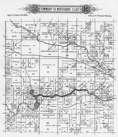
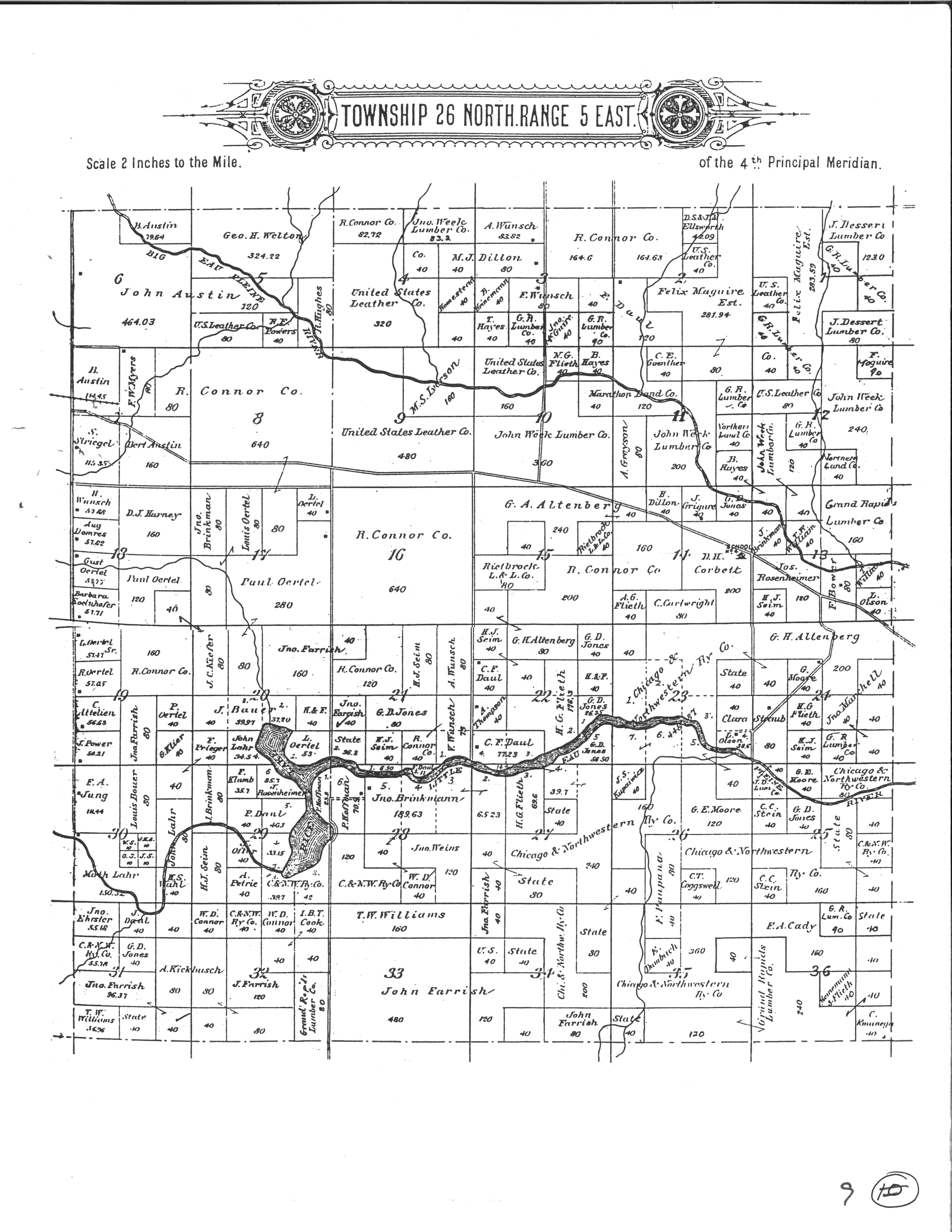
T. 26 N. - R. 5 E.
Formallized:
1913
Background:
Population: 1920-508, 2000-524.
The Town of Green Valley,originally part of Bergen Township, was created on September 12, 1913.
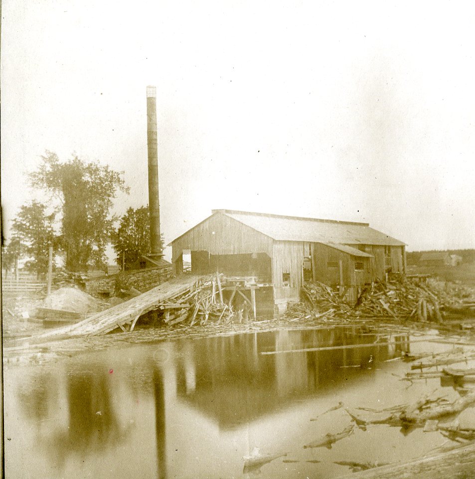
In the mid 1800s, this land was inhabited by the Potawatomi Indians and people associated with the Week's sawmill. Settlers, mostly German, came in the late 1870s. The Week's sawmill burned in 1880, and the Farrish logging camp located itself in Green Valley. This logging camp closed in 1913. Afterwards several Dutch families settled and farmed the land to the northeast of the former Farrish logging camp. The John Weeks Mill, as described in the Town of Bergen profile, was located in Section 13 of Township 26, Range 5 East. At the time the mill was in operation, it was located in the part of the Town of Bergen that later became the Town of Green Valley
Post Office Established:
March 25, 1905
First Postmaster:
Paul Folz
About The Post Office:
Folz Post Office: There is no discontinued date for the Folz Post Office. It is possible it was never in service. Its location, if it existed, is thought to have been in Section 7, Township 26, Range 5 East.
Churches:
A church and a cemetery were reportedly located north of the former Farrish logging camp.
Schools:
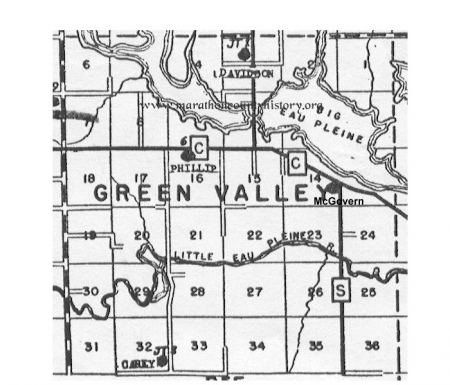
McGovern School, located in Section 14, was probably built between 1899 and 1900. Originally School District #4 in the Town of Bergen, it became part of Green Valley schools in 1913, Section 13. The McGovern School probably replaced the Week's School which was about two thirds of a mile east of the McGovern School and on the north side of the present day County Hwy. C. This school was presumedly named after Mr. Francis Edward McGovern who was the 22nd governor of Wisconsin from January 2, 1911 to January 4, 1915. Apparently, the school closed in 1944.
Davidson School - Located in Section 3, this school was first known as Joint(?) School District #1, Towns of Bergen and Emmet (until 1913? when the Town of Green Valley was set off from the Town of Bergen). It was presumedly named after James Ole Davidson, the 21st governor of Wisconsin, 1906 - 1911 or James H. Davidson, the Wisconsin representative to the U.S. House
Carey School - The location of this school began in a sparsely settled area near the Farrish Logging Camp. Reportedly after the logging camp closed, c1913, the cook shanty was used for a school house until the Carey School was built, c1914, in Section 32. The "Cary School" was named after Mr. Charles P. Cary, Wisconsin Superintendent of Public Instruction from 1903 - 1921.
Phillip School - Located in Section 16
Industry:
Week's Sawmill - See Town of Bergin
See Background
Farming:
See Background
Stories:
Some time, allegedly between 1755 and 1758, a Chippewa band at Rice Lake in Green Valley Township had gone down the Little Eau Plaine River a few miles to tap maple trees in spring. In their absence, a band of Winnebagoes moved into and occupied their village on Smoky Hill.
When the Chippewas returned, apparently they were at a disadvantage in their efforts to dislodge the Winnebagoes from Smoky Hill either because they were outnumbered or the Winnebagoes were holding hostage their women and children. Instead of launching an attack, the Chippewa chief of the band sent a messenger to Green Bay requesting support from the French garrison.
Just how the French reached the area is uncertain. It can be assumed the Chippewas met the French at the Wisconsin River. The French divided their force and together with the Chippewas drove the Winnebagoes from Smoky Hill.
Smoky Hill got its name, according to one source, because it was regarded with superstitious awe. The old battlefield was frequently shrouded in mist and fog and this, according to the same above source, was bad medicine, or a manifestation of the "evil spirit".
There is no way of knowing for certain where the "Battle of Smoky Hill" actually took place. But if you wish to drive that way, take County Hwy. C west from Dancy to Smoky Hill Rd. Turn south and drive for two miles. You will come to a bridge built across the Little Eau Pleine River. Stop the car in the parking area to the east of the bridge. Somewhere around here marks the spot where the only major battle was probably waged in Central Wisconsin between the Chippewa and Winnebago Indians.


